ITM - Carte de l'Uruguay et Montevideo
| Destination | Amérique du sud |
|---|---|
| Pays / Région | Uruguay |
| Edition, collection | I.T.M (International Travel maps) |
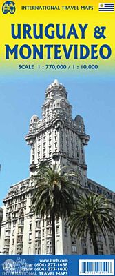
D'un côté, la carte de l'Uruguay au 1/770.000ème (1 cm = 7.7 km) et, de l'autre, le plan du centre de Montevideo au 1/10.000ème (1 cm = 100 mètres)
Détails de l'article
Voici comment l'éditeur présente ce titre sur son site :
The South American country of Uruguay is popular touristically. Side 1 covers the city of Montevideo, the capital, from the harbour to the Tres Cruces shopping area and international bus terminal. The Ciudad Viejo (old town) is close to the ferry terminal linking the city to Buenos Aires, in Argentina. It is also the focal point of interest for visitors. The adjacent Centro is the main shopping/entertainment focal point for the city and the location of most of the hotels. Side 2 shows the entire country, with its connections to Brasil, Buenos Aires, and central Argentina Uruguay has a very sophisticated roadway network (unfortunately, no trains) and is a haven of stability in a continent that all too often seems somewhat volatile. This side also includes two inset maps of interesting touristic-oriented towns – Punta del Este and Colonia del Sacramento (a short ferry ride from Buenos Aires), both of which are ocean resort towns east and west of Montevideo. The Rio de la Plata separates Uruguay both on its southern portion and on its western border with Argentina. This is an oft-ignored country, but it is peaceful, touristically popular, and easy to reach. Fortunately, it now has a very good map!
(Source : ITM)