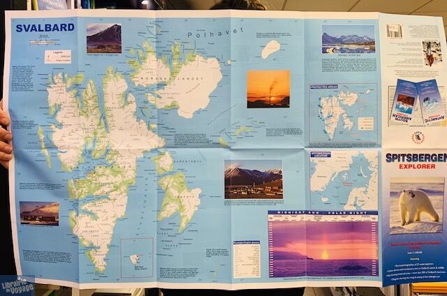
Ocean explorer map - Carte en anglais - Spitzberg (Svalbard)
| Destination | Europe |
|---|---|
| Pays / Région | Norvège |
| Région / Ville | Spitzberg |
| Edition, collection | Ocean explorer maps |
Détails de l'article
Voici comment l'éditeur présente ce guide sur son site :
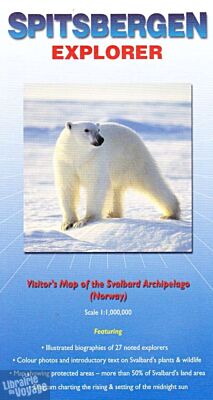
A fold-out visitor's map (scale 1 : 1,000,000), that measures approximately 75 x 46 cm (W x H) when unfolded. Covers the famous Arctic archipelago (named Spitsbergen when discovered by the Dutch in 1596, but now more commonly referred to as Svalbard - the Viking word for 'cold coast'). On one side there is a clear and uncluttered map of the archipelago, with useful annotations; on the reverse there are excellent biographical summaries of 27 noted explorers (including Horatio Nelson who came here as a 14 year old midshipman!) plus brief descriptions and colour photographs of the more common plants, invertebrates, birds and mammals.
(Présentation de l'éditeur)
Une carte peu détaillée (1cm = 10km) mais qui permet de se reprérer. Au verso de la carte la partie dédiée aux exploreurs ainsi qu'à la faune est intéressante