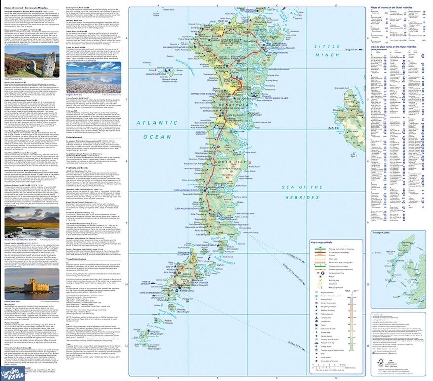
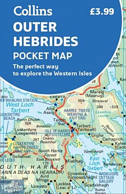
Collins map publishing - Carte routière (en anglais) - Outer Hebrides (Hébrides extérieures)
| Destination | Europe |
|---|---|
| Pays / Région | Ecosse |
| Région / Ville | Highlands et îles |
| Edition, collection | Collins |
Détails de l'article
Voici comment l'éditeur présente ce titre sur son site :
Explore new places with handy pocket maps from Collins. Handy little full colour map of the Western Isles of Scotland. Detailed mapping and tourist information for the islands of Lewis, Harris, Uist, Benbecula, Barra and St Kilda.
Excellent value and very detailed for its size. Main features of this map include:
* Clear mapping at a scale of 3.2 miles to 1 inch
* Tourist attractions located and described
* Ideal for touring with sights, places to stay, cafe/restaurant, things to do all on the map
* Transport links map showing how to get to and depart the islands
* Index to places of interest and place names Essential for those planning a trip around the Western Isles.
(Présentation de l'éditeur)
Une carte routière au 1/205.000ème, 1cm = 2,05km, sur les Hébrides extérieures. Les informations sont simples et claires tant sur les routes que sur les lieux intéressants. Certains sont même décrits tout comme quelques évènements.