Anavasi - Carte de randonnées ref.10.42 - Mykonos, Delos & Rheneia
| Destination | Europe |
|---|---|
| Pays / Région | Grèce |
| Région / Ville | Iles grecques |
| Edition, collection | Anavasi |
Une excellent carte de randonnées au 1/25.000ème (1 cm = 250 mètres)
Détails de l'article
Voici comment l'éditeur présente ce titre sur son site :
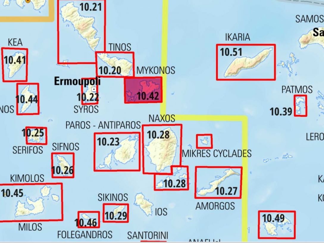
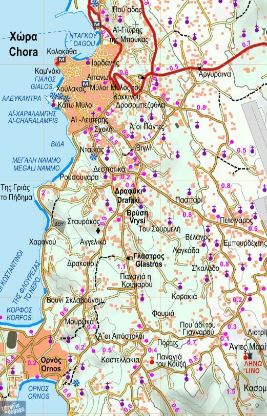
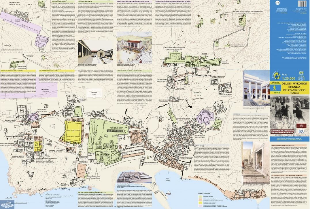
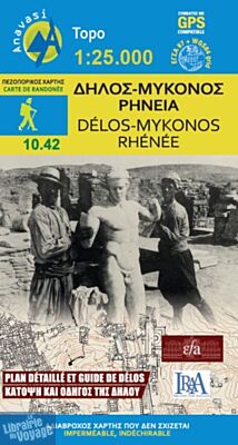
Mykonos (Mikonos) with the nearby islands of Delos (Dilos or Délos in French) and Rheneia (Rineia, Rinia or Rhénée in French) on a light, waterproof and tear-resistant, GPS compatible map at 1:25 000. The reverse side shows a large, very detailed plan of the archaeological remains on Delos of the temples of Apollo, Artemis and Leto.
Topography of the islands is shown by contours with hill shading and spot heights. The map indicates unsurfaced roads, with distances marked on most routes plus locations of petrol stations. Symbols highlight campsites, beaches, museums, historical remains, etc. Names of larger settlements, beaches and places of interest are in both Greek and Latin alphabets: smaller locations are only in the Greek script.
The whole of the reverse side is taken by a very detailed plan of the archaeological remains on Delos, accompanied by notes about specific temples, etc. The map also includes general notes about the islands. Map legend and all the text include English.
(Source : Anavasi)