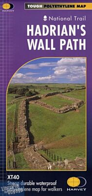
Harvey maps - Carte de randonnées - Hadrian's wall map
| Destination | Europe |
|---|---|
| Pays / Région | Angleterre, Ecosse |
| Edition, collection | Harvey maps |
Carte de randonnées en matière indéchirable au 1/40.000ème (1cm = 400 mètres)
23,90 €
En stock
Expédition demain matin
Détails de l'article
Voici comment l'éditeur présente ce titre sur son site :
Entire route on one map
Hadrian’s Wall Path is a National Trail and runs 135km (84 miles) from the Solway Coast to Newcastle.
The sites of Roman remains are marked on the map, with an enlargement of Housesteads.
Tough, light, durable and 100% waterproof
Includes Rights of Way
Genuine original HARVEY mapping
Route clearly marked
(Source : Harvey maps)
Poids
35 g


Les accessoires de voyage
Utiles, indispensables ou futiles, la librairie offre une sélection d'accessoires pour vos escapades