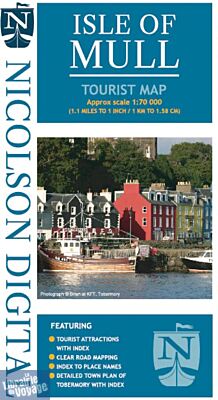
Nicolson maps - Carte - Isle of Mull (Île de Mull)
| Destination | Europe |
|---|---|
| Pays / Région | Ecosse |
| Edition, collection | Nicolson Map |
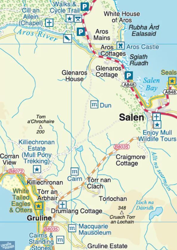
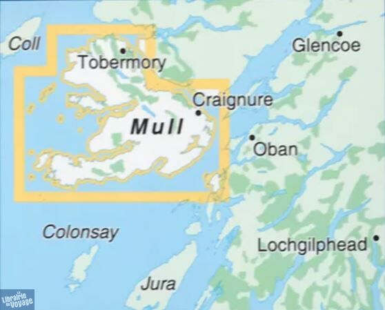
Une très belle carte de l'île de Mull (Ecosse) au 1/70.000ème (1cm = 700 m) avec un focus sur la ville de Tobermory.
Détails de l'article
Voici comment l'éditeur présente ce titre sur son site :
Nicolson Digital Tourist Maps are ideal for planning your visit to some of the most beautiful areas of Scotland. Tourist attractions and places are clearly marked. Topography is shown through layer tints with major peaks highlighted. Detailed street map of Tobermory included. A must for every visitor!
Single sided 1/70000 (1.1" to 1 mile) Tourist map of the Isle of Mull
Featuring:
• Exceptionally clear road mapping
• Index to place names & major tourist attractions
• Indexed street plan of Tobermory
• Layer tints and peak heights
• Exceptional wildlife viewing areas shown
(Source : Nicolson Maps)