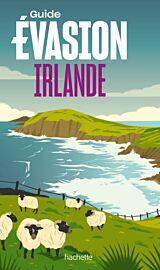
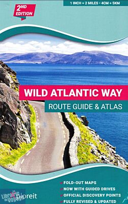
Xploreit maps - Atlas - Wild Atlantic Way (Irlande)
| Destination | Europe |
|---|---|
| Pays / Région | Irlande |
| Edition, collection | Xploreit Maps |
L'atlas du Wild Atlantic way ou 4cm sur la carte = 5km
Détails de l'article
Voici comment l'éditeur présente ce titre sur son site :
The Wild Atlantic Way is the world's longest defined coastal route. It includes Ireland's most northerly point, Malin Head, in Donegal and it's most southerly point, Mizen Head in Cork. All along the way you will find a myriad of spectacular discovery points with incredible scenic views.
This atlas splits up the route into 30 foldout maps that are detailed yet easy to read. The coastal roads are classified so that you are instantly aware of any narrow sections and you can also see where the really scenic stretches are located. Each section is drivable in one day or less and there are useful distance charts for towns and villages to help you plan your journey.
All of the official Discovery Points are clearly shown including the 15 iconic Signature Points. Over 40 different categories of visitor information are shown to help you locate numerous hidden gems and well-known attractions. A variety of coastal and forest walks in the vicinity of the route are detailed.
Key Points
30 Fold-Out road maps showing the route and road types
Route Planning maps
Gazetteer of Discovery Points with GPS coordinates and brief descriptions
Distance Charts for towns and villages
Scenic sections highlighted
Ferry departure points
Wide range of other visitor attractions and points of interest shown
Map legend in English, German and French
Map Scale 2 miles to 1 inch – 1:126,720
(Source : Xplore it maps)