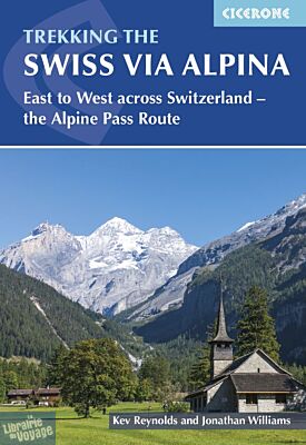
Cicerone - Guide de randonnées (en anglais) - Trekking the swiss via alpina (east to west across Switzerland – the alpine pass route)
| Destination | Europe |
|---|---|
| Pays / Région | Suisse |
| Auteur | Kev Reynolds, Jonathan Williams |
| Date de publication | 15 juil. 2023 |
| Edition, collection | Cicerone Editions |
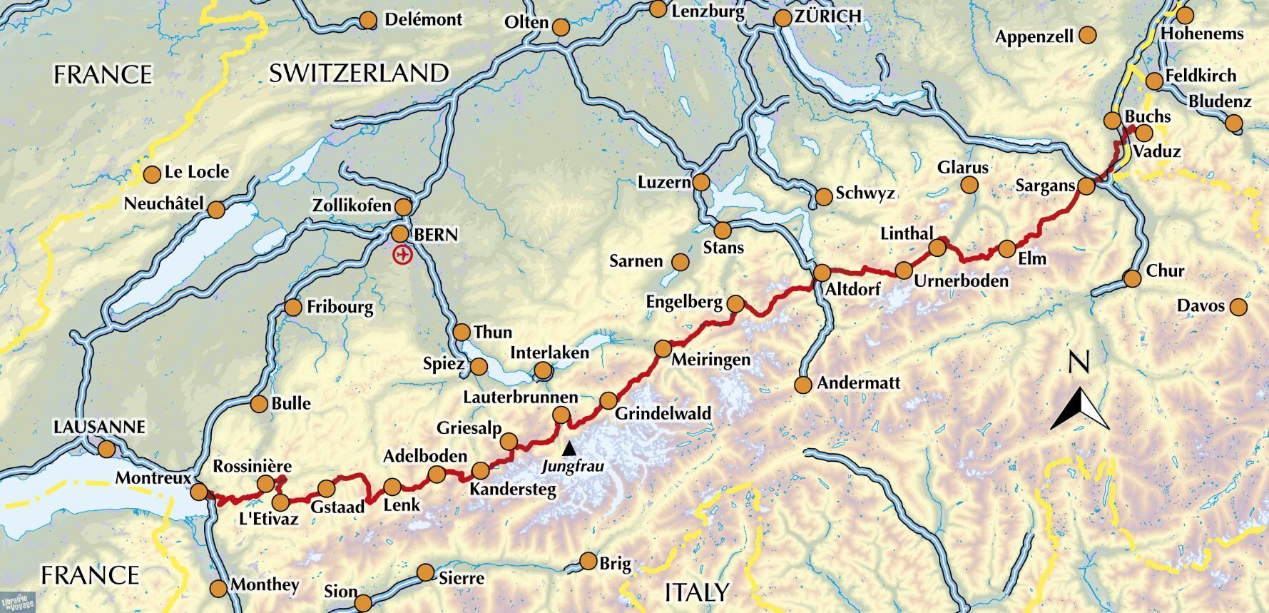
De Sargans to Montreux, 400km présentés en 19 étapes. Le parcours suisse de la Via Alpina
Détails de l'article
Voici comment l'éditeur présente ce titre, en verison originale, sur son site :
Guidebook to the Swiss Via Alpina, a 400km trek east-west across Switzerland, with options of detouring along the Alpine Pass Route. This demanding 3-week trek crosses 16 passes, including the 2778m Hohtürli, in a total of 19 stages from Sargans to Montreux, as well as a prologue stage from Liechtenstein. Requires good fitness and experience.
Seasons
From the start of July through to September. August can be wet, and an early season trek may find snow on the higher passes, so suitable additional equipment would be essential.
Centres
Sargans, Elm, Linthal, Altdorf, Engelberg, Meiringen, Grindlewald, Lauterbrunnen, Kandersteg, Adelboden, Lenk, Gstaad, Rossiniere, Gsteig, Col des Mosses, Montreux
Difficulty
It's pretty tough: the route amasses nearly 23,000m of ascent over 20 stages and nearly every day involves a pass crossing. Some higher passes and ridges present occasional exposure and technical difficulty.
Must See
The Todi and Titlis; Eiger, Monch and Jungfrau near Grindlewald; valley-pass landscapes every day; the Lauterbrunnen valley; the Oeschinensee above Kandersteg; Blumlisalp and Les Diablerets.
A guidebook to the Swiss Via Alpina, a 400km (250 mile) trek east-to-west across Switzerland, from Sargans to Montreux on Lac Léman (Lake Geneva). Previously the Alpine Pass Route, the Via Alpina (VA) is a fully waymarked Swiss national trail that involves nearly 23,000m of ascent and descent over roughly 3 weeks of trekking – a serious challenge suitable for experienced trekkers. The main route is described in 19 stages of 12-29km (8-18 miles), as well as a 27km (17 mile) prologue stage from Liechtenstein and detour stages via Lenk and Gsteig. Comprehensive route description is accompanied by 1:100,000 mapping, route profiles, facilities listings and advice on safety, transport, accommodation and language. Crossing 16 Alpine passes, the VA showcases some of the Switzerland’s most breathtaking mountain landscapes, from flower-strewn meadows to snow-capped peaks including the majestic Todi, Titlis, Wetterhorn, Eiger, Jungfrau and Wildstrubel. Accommodation options range from mountain huts to hotels and inns, with camping available at licensed sites along the route.
(Source : Cicerone)