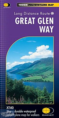
Harvey maps - Carte de randonnée - Great Glen Way
| Destination | Europe |
|---|---|
| Pays / Région | Ecosse |
| Région / Ville | Highlands et îles |
| Edition, collection | Harvey maps |
Une carte plastifiée recto/verso qui décrit ce trek au 1/40.000ème (1cm = 400m) tronçon par tronçon.
23,90 €
Sur commande - Livraison sous 8/10 jours
Détails de l'article
Shows the entire route on one sheet. 117km (73 miles) from Fort William to Inverness via Fort Augustus along the Caledonian Canal and the north side of Loch Ness. Information on finding accommodation, camping, food. Directions to the start. Also Ranger Service contact numbers and enlargements of towns/villages showing facilities available and tips on weather and clothing. Detailed mapping, full legend. National Grid - can be used with GPS. 1:40,000 scale. Waterproof. Supplied in clear plastic pocket.
(Présentation de l'éditeur)
Une carte plastifiée recto/verso qui décrit ce trek au 1/40.000ème (1cm = 400m) tronçon par tronçon.


Les accessoires de voyage
Utiles, indispensables ou futiles, la librairie offre une sélection d'accessoires pour vos escapades