Harvey maps - Carte de randonnées - South West Coast Path n°2 (chemin côtier du sud-ouest anglais)
| Destination | Europe |
|---|---|
| Pays / Région | Angleterre |
| Région / Ville | Angleterre Sud |
| Edition, collection | Harvey maps |
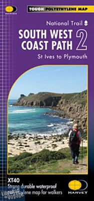
L'ensemble du chemin côtier du sud-ouest anglais est disponible en 3 cartes éditées par Harvey Maps au 1/40.000 ème (1 cm = 400 mètre). Ce second tronçon, vous cartographie la région de Saint-Ives à Plymouth
Détails de l'article
Voici comment l'éditeur présente ce titre sur son site :
The whole of the South West Coast Path on 3 maps
The South West Coast Path is Britain's longest, and one of its most popular, National Trails. It runs along the coast of Somerset, Cornwall, Devon, and Dorset from Minehead round via Land's End to Poole in Dorset. It includes all 95 miles of the World Heritage site known as the Jurassic Coast.
3 HARVEY maps cover the whole 1013km (630 miles) route. Each map covers a section of the Path suitable for about 2 weeks of walking.
Map 2 covers the Path from St Ives to Plymouth.
Tough, light, durable and 100% waterproof
Includes Rights of Way
Genuine original HARVEY mapping
Route clearly marked
(Source : Harvey maps)