ITM - Carte - Ile Nord (Nouvelle Zélande) et Auckland
| Destination | Océanie |
|---|---|
| Pays / Région | Nouvelle-Zélande |
| Edition, collection | I.T.M (International Travel maps) |
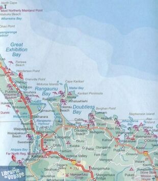
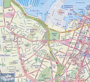
Une carte recto-verso et imperméable de l'île Nord de la Nouvelle-Zélande ainsi que de la ville d'Auckland. Au recto, les plans de la région d'Auckland au 1/250.000ème (1cm = 2,5 km), de la ville d'Auckalnd au 1/12.500ème (1cm = 125m), de la région de Wellington au 1/25.000ème (1 cm = 250m) et un plan de la ville de Wellington au 1/9.500ème (1cm = 95m) et au verso, l'île du nord au 1/650.000ème (1cm = 6,5km) ainsi que les îles Kermadec et Chatham respectivement au 1/3.000.000ème (1 cm = 30km) et au 1/1.900.000 (1 cm = 19 km).
Détails de l'article
Voici comment l'éditeur présente ce titre sur son site :
This new ITMB map should really be called Auckland, Wellington, Christchurch and the North Island of New Zealand, but that’s too long a title. However, in addition to Auckland, the cities of Wellington and Christchurch are included on one side of the map (NZ urban areas don’t tend to be huge). The other side is a very detailed map of North Island, the main island of the country. This map will be perfect for both finding one’s way around Auckland’s waterfront and for exploring the highways and byways, communing with woolies; printed double-sided on paper
(Source : I.T.M Maps)


