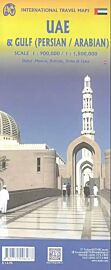
ITM - Cartes des Émirats Arabes Unis (et plan de Dubaï)
| Destination | Asie / Moyen-Orient |
|---|---|
| Pays / Région | Dubaï, Emirats Arabes Unis |
| Edition, collection | I.T.M (International Travel maps) |
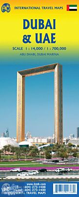
Une carte recto/verso avec, d'un côté la carte des Émirats Arabes Unis - et un petit plan d'Abu Dhabi - au 1/700.000ème (1 cm = 7 km) et, de l'autre, un plan de Dubai au 1/14.000ème (1 cm = 140 mètres)
Détails de l'article
Voici comment l'éditeur présente ce titre sur son site :
Dubai is truly becoming a very popular travel destination and the loose federation of sheikdoms collectively known as the United Arab Emirates is growing in popularity with each passing year. Despite the turmoil affecting both Israel and Iran, this part of the Middle East is open for business and peaceful. Side 1 concentrates on the overall region from the eastern border of the UAE to its interaction with Oman. It also has an excellent inset map of Abu Dhabi, the capital of the UAE. Side 2 concentrates on Dubai itself as the largest urban area. Dubai has an extensive and interesting old town on the east bank of the Dubai Creek, which is where most of the hotels and the huge international airport are located. The ‘new town’ is on the left bank, and this is where one finds Western-style shopping areas, high-rise towers, the rapid transit line, and the main motorway out of town. The World Trade Center and Emirates Towers are also centrally located. The man-made Coastal Projects are shown in insets.
Legend Includes:
Roads by classification, Rivers and Lakes, National Park, Airports, Points of Interests, Highways, Main Roads, Zoos, Fishing, and much more...
(Source : ITM)