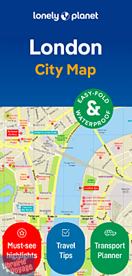
Lonely Planet - Plan de ville (en anglais) - London city map (Londres)
| Destination | Europe |
|---|---|
| Pays / Région | Angleterre |
| Région / Ville | Londres |
| Date de publication | 29 févr. 2024 |
| Edition, collection | Lonely Planet |
Les habitué.e.s de la charte graphique de Lonely Planet en terme de plans de ville y trouveront leur compte. Un plan du centre touristique, quelques conseils de visites (tout en anglais) et de petites informations sur le transport. En matière résistante.
Détails de l'article
Voici comment l'éditeur présente ce titre sur son site :
Durable and waterproof, with a handy slipcase and an easy-fold format, Lonely Planet's London City Map is your conveniently sized passport to travelling with ease. Get more from your map and your trip with images and information about top city attractions, walking tour routes, transport maps, itinerary suggestions, an extensive street and site index, and practical travel tips and directory. With this easy-to-use, full-colour navigation tool in your back pocket, you can truly get to the heart of London, so begin your journey now!
Durable and waterproof
Easy-fold format and convenient size
Handy slipcase
Full colour and easy to use
Extensive street and site index
Images and information about top city attractions
Handy transport maps
Walking tour routes
Practical travel tips and directory
Itinerary suggestions
COVERS
Regent's Park, Fitzrovia, Marylebone, Somers Town, King's Cross, St Pancras, Bloomsbury, Pentonville, Clerkenwell, Finsbury, Shoreditch, Spitalfields, Holborn, Covent Garden, Mayfair, St James's, Soho, Westminster, Belgravia, Knightsbridge, South Bank, Southwark, Lambeth, Borough, Bermondsey, Chelsea, Pimlico
(Source : Lonely Planet)