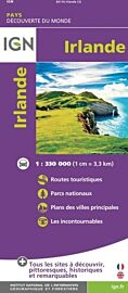
Three Rock Books - Carte pliée - The adventure map of Ireland (Irlande)
| Destination | Europe |
|---|---|
| Pays / Région | Irlande |
| Edition, collection | Three Rock Book |
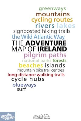
En voici un beau projet, en anglais, que nous aimerions avoir pour d'autres destinations ! Ce n'est pas une carte routière, ni une carte de randonnée, mais une carte qui situe, au recto, un grand nombre de repères pour voyager en irlande : Lacs, Voies vélo, grands itinéraires de randos, spots de surfs, parcs naturels...et, au verso, qui donne des informations plus pratiques
Détails de l'article
Voici comment l'éditeur présente ce titre sur son site :
Packed with thousands of ideas for things to do including hiking, cycling, kayaking and places to visit like beaches, mountains, forests and lakes.
This custom-designed folding map is the perfect guide for making the most out of this summer exploring Ireland.
Printed on the same press as the Irish and UK Ordnance Survey maps, this large format (890mm x 1125mm), high-quality map is the ideal planning tool for your Irish adventures. On the reverse side is packed with a vast amount of detailed information.
Featuring Ireland’s:
long-distance walking trails
cycling routes
pilgrims paths
greenways
blueways
signposted hiking trails
cycle hubs
mountain bike trails
the Wild Atlantic Way
beaches
surf spots
mountains,
lakes, rivers islands
national parks
forests
(Source : Three Rock Books)